
Free access to official topographic maps remains largely unknown, despite their digital availability. Several platforms and applications now offer these resources at no cost, while purchasing paper versions remains paid. However, some advanced features require a subscription, creating a subtle boundary between free access and premium options. Digital tools now facilitate the organization of precise routes without requiring an initial financial investment.
Why IGN maps have become essential for hiking
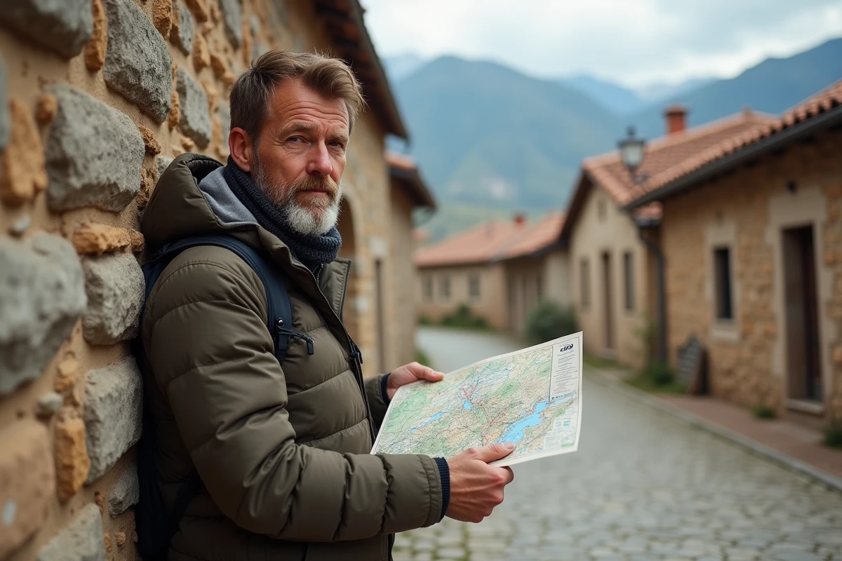
The IGN map has risen to the status of a reference for anyone wanting to venture onto the trails of France. The result of recognized cartographic expertise, it stands out for its remarkable precision, particularly thanks to the altimetric data collected by the IGN. This digital terrain model reveals the relief meticulously and makes reading contour lines accessible, whether one is a beginner or an experienced hiker.
Further reading : How a Digital Partnership Optimizes Online Growth for B2B Companies
What makes the IGN Top 25 map powerful are its numerous overlays dedicated to GR and GRP, protected by the rights of the FFRP and the Club Vosgien. These routes mark the major paths of the territory, offering reliable and precise navigation where other cartographic backgrounds may be inaccurate. The national coverage allows for a continuous route, from the Atlantic beaches to the alpine peaks, from hedgerows to narrow valleys.
Preparing for a hike then takes on a whole new dimension: spotting water sources, anticipating steep passages, adjusting the route according to elevation changes. Analyzing IGN data gives one the means to avoid surprises. Historical maps and aerial photos complement the reading, providing another perspective on the diversity of landscapes.
Further reading : How to Manage Your Emails Effectively: Tips and Online Tools
Accessing a free IGN map online changes the game for preparing hikes. Direct access, without financial constraints, allows for a serious and respectful approach to each route. Today, every informed hiker systematically consults this resource before embarking on new paths.
What solutions are available for free access to IGN maps online
Since 2021, the IGN has opened wide the doors to its cartographic data and topographic maps for non-commercial use. This shift facilitates the preparation of hikes throughout France. The cartographic portal lists major tools for visualizing and downloading IGN maps of France for free, without subscribing to any service.
Overview of free access
Here are the main solutions for consulting IGN maps at no cost:
- Géoportail: the public platform allows users to explore recent IGN maps, add layers (relief, parcels, aerial photos), draw a route, or print an area to the desired scale. It also offers elevation change calculations and the ability to save routes.
- IGN Maps App: available on Android and iPhone, it provides access to IGN backgrounds on the go. The IGN Plan can be downloaded for offline use. The IGN Top 25 map remains accessible online. Users can create or import their GPX tracks, add points of interest, and share their location.
- JGN Superheroes: this online service allows free printing of excerpts from IGN maps from a computer, convenient for taking a portion of the map into the field.
Preparing your route becomes quick: create your itinerary, print it, or export it to your smartphone. The IGN maps, assembled from tiles, accurately depict the relief and all the details expected from a precise map, a definite asset for exploring confidently.
Practical resources: applications and websites to prepare your routes
To trace your itinerary, locate a point of interest, or visualize the relief, digital tools based on IGN maps multiply the options. From a computer, Géoportail brings together all cartographic backgrounds, altimetric data, and route editing functions. Simply draw your path, download a GPX file, or print the map of the chosen area while customizing the scale and format. The contour lines, derived from the DEM, are displayed as overlays, ideal for anticipating elevation changes.
On mobile, the IGN Maps app discreetly accompanies each outing. It allows users to consult the IGN Plan offline, record a route, export or import GPX tracks, and find their position in nature. A few manipulations are enough to generate a personalized map, enriched with points of interest or new segments to explore. The experience remains streamlined, without ads or unnecessary features.
For those who prefer paper support, JGN Superheroes makes it possible to print free excerpts from IGN maps, tailored to the desired area and scale. Whether for a hike, field scouting, or family activities, the IGN map, digital or paper, remains the reliable tool for designing trustworthy routes, suited to every exploration project.
Preparing for a hike no longer feels like a shadowy endeavor. Today, the digital IGN map is just a click away, serving the curious, weekend adventurers, or outdoor enthusiasts. The next outing awaits only your starting point.